Review beta — unlisted, but public to anyone with this URL.
Hayley here - MFR is gonna need some radar model updates, so... wanna add to my workload by telling me what else you'd like to see?
Severe weather outlook overview
- Sunday, Oct 11
- A couple of tornadoes remain possible across parts eastern North Carolina and southeastern Virginia into early evening. Additional storms with isolated severe gusts will be possible in parts of the Desert Southwest and Four Corners region.
- Monday, Oct 12
- No severe weather is expected Monday through Monday night.
- Tuesday, Oct 13
- Widely scattered severe storms appear possible over portions of the central and southern High Plains Tuesday afternoon into night. More isolated severe weather may occur into the mid Mississippi Valley, and in parts of the Lower Great Lakes.
Loop of Future Radar Imagery
RRFS — Western North Atlantic (3 km; every 3–6 hours) · Pre-operational forecast
Initialized · Source: NOAA RRFS
Forecast valid through · Simulated reflectivity at 1 km above ground (dBZ).
This forecast period has ended; these images are not a current forecast.
The 3 km view is selected for the planned production update. Compare both resolutions and open the hourly 13 km sequence.
Loading forecast…
Keyboard: Space to play/pause; ←/→ to step.
Loading forecast…
Individual Radar Forecast Images
Model initialized · 25 native forecast frames.
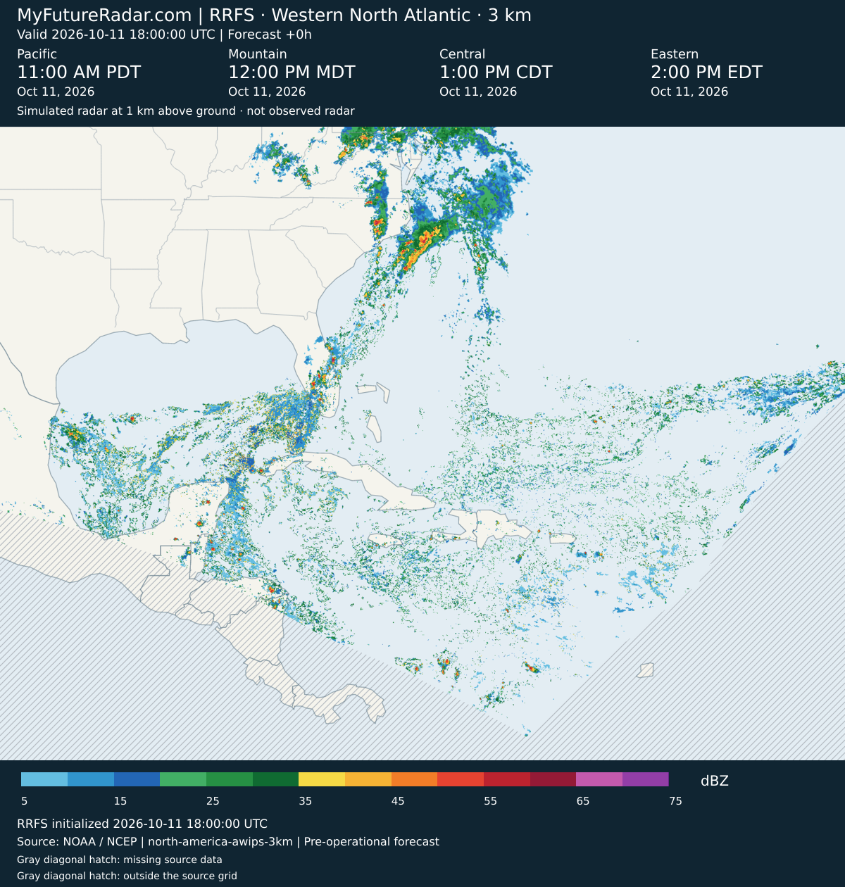
RRFS — Western North Atlantic (3 km; every 3–6 hours) — (+0 hours)
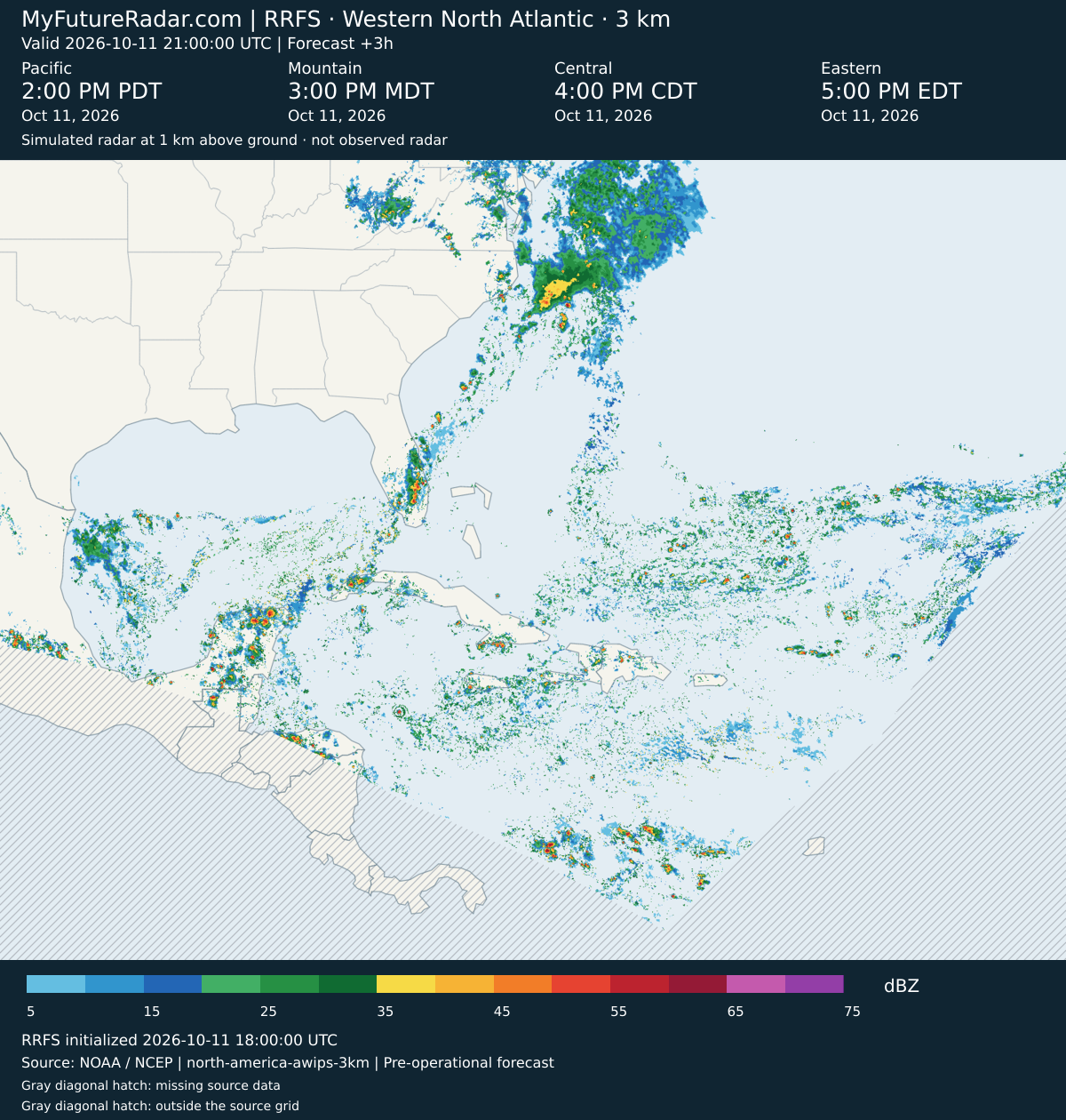
RRFS — Western North Atlantic (3 km; every 3–6 hours) — (+3 hours)
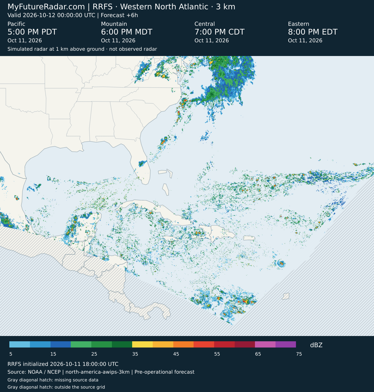
RRFS — Western North Atlantic (3 km; every 3–6 hours) — (+6 hours)
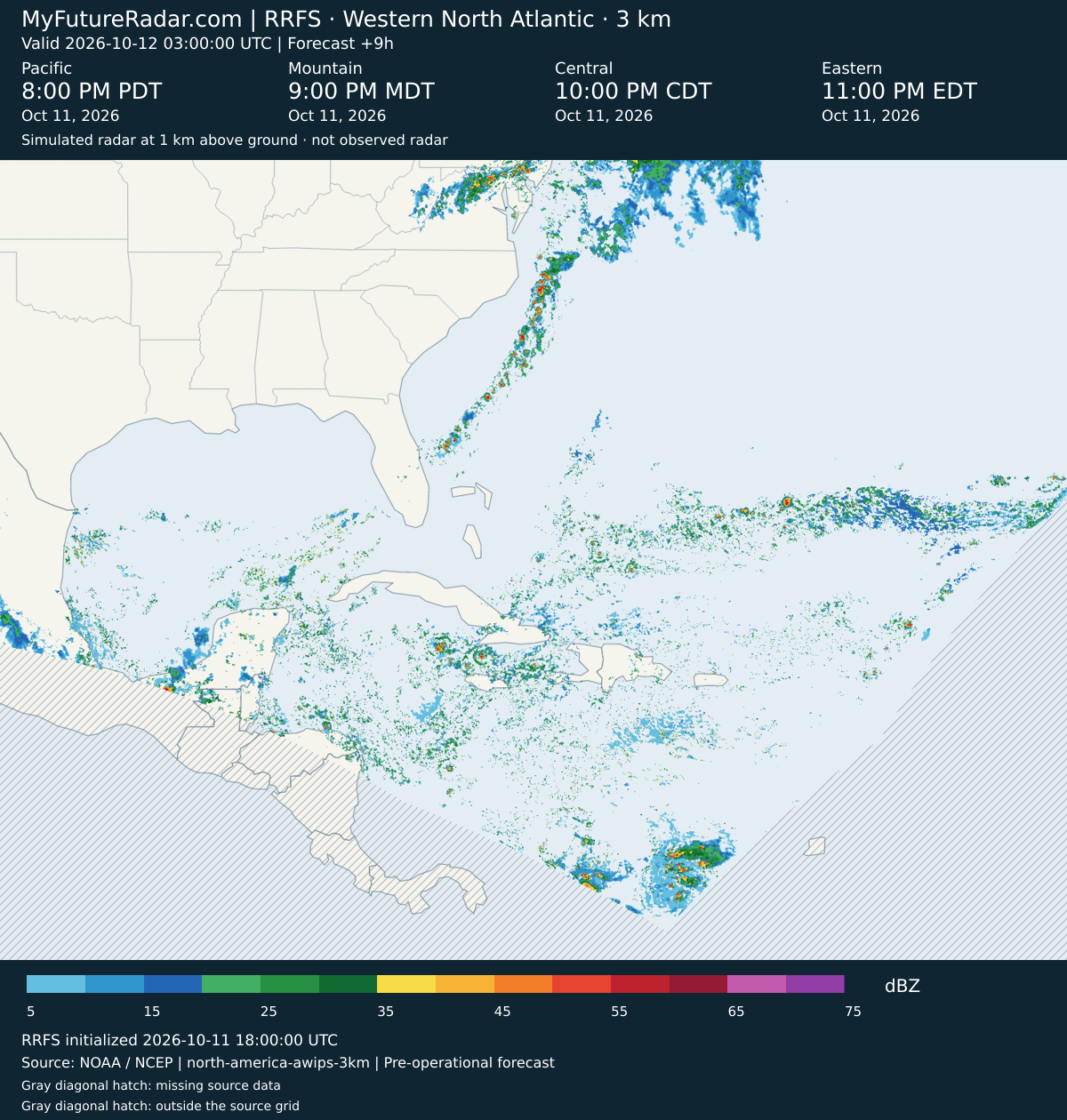
RRFS — Western North Atlantic (3 km; every 3–6 hours) — (+9 hours)
RRFS — Western North Atlantic (3 km; every 3–6 hours) — (+12 hours)
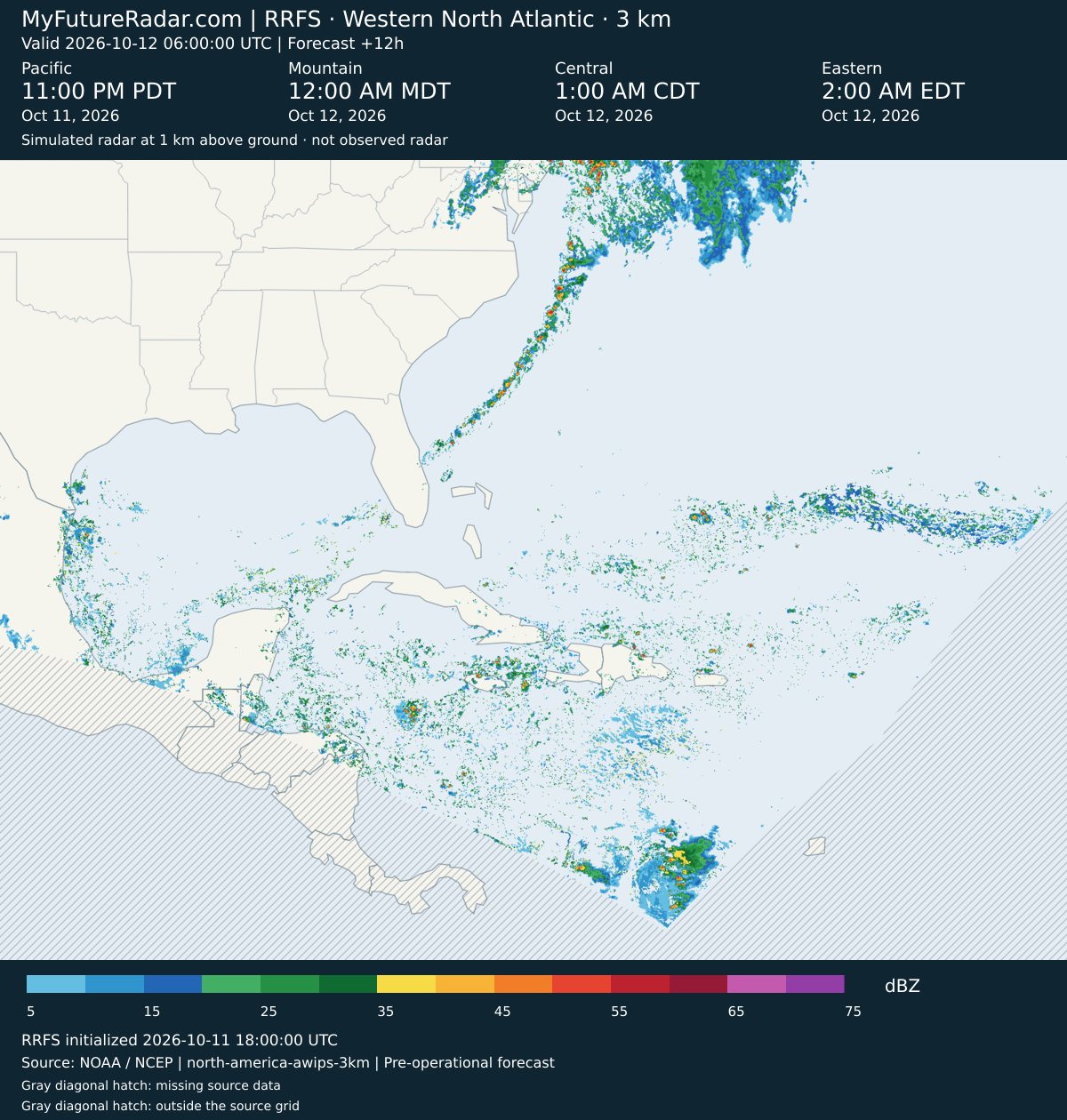
RRFS — Western North Atlantic (3 km; every 3–6 hours) — (+15 hours)
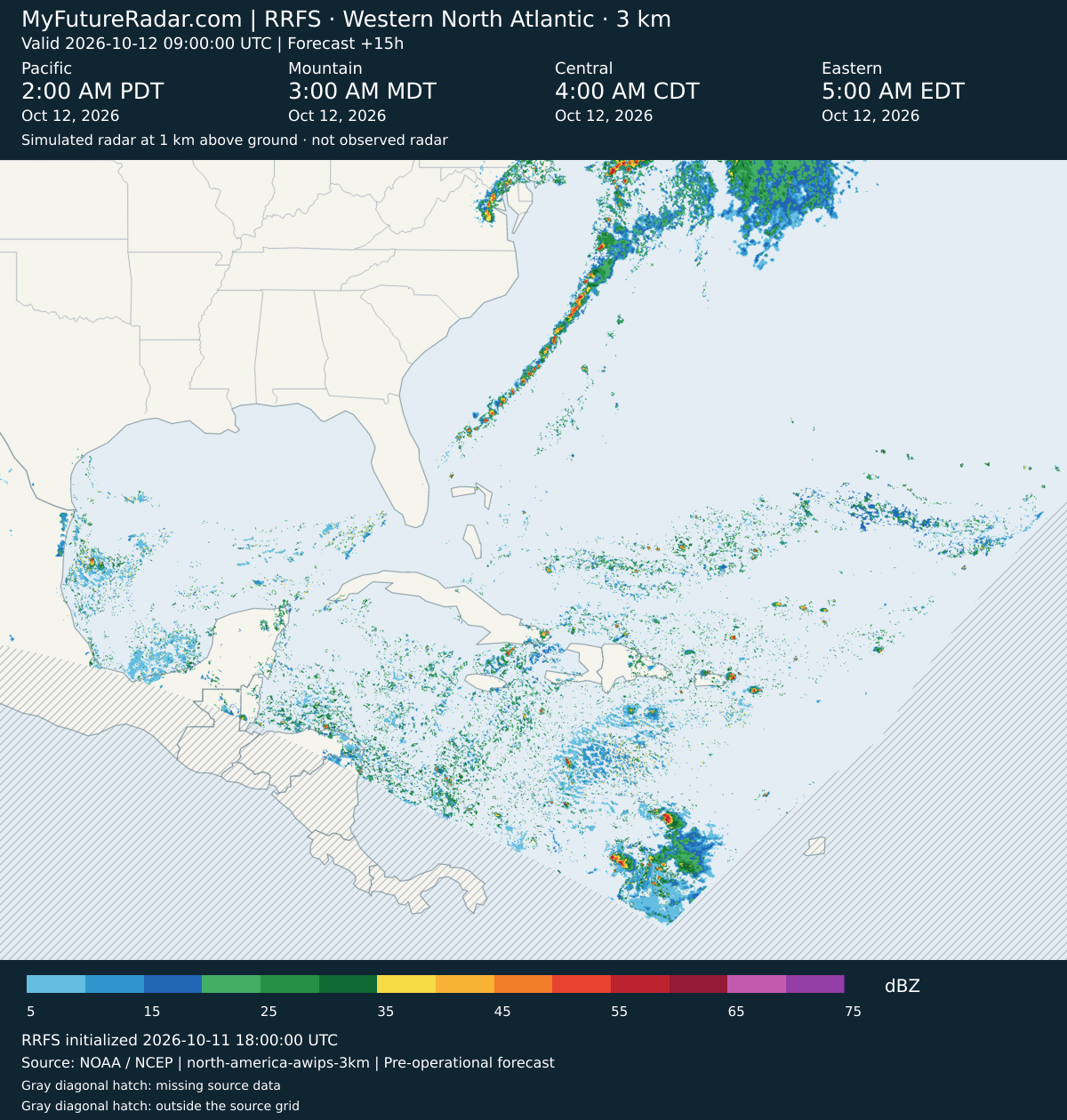
RRFS — Western North Atlantic (3 km; every 3–6 hours) — (+18 hours)
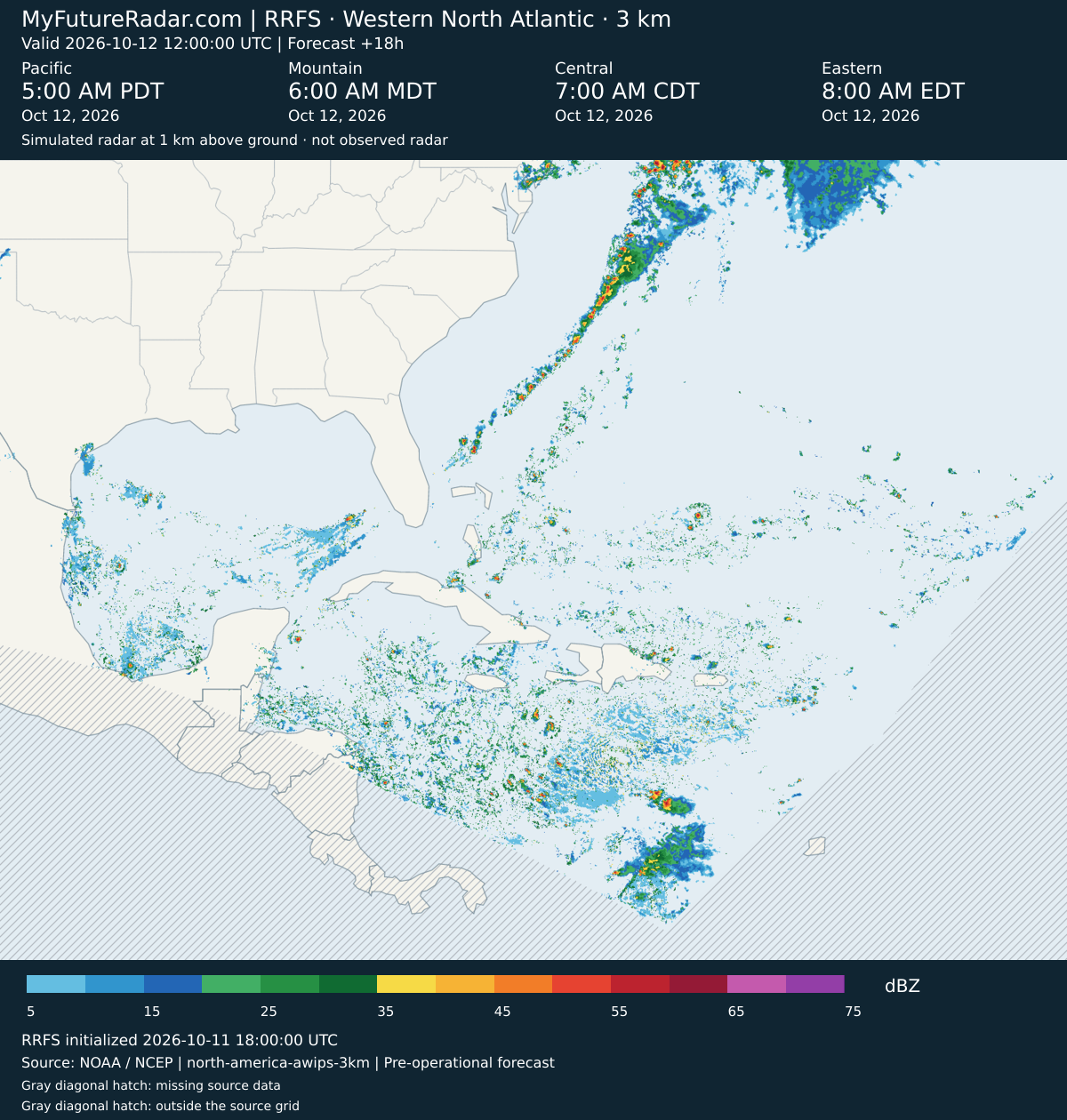
RRFS — Western North Atlantic (3 km; every 3–6 hours) — (+21 hours)
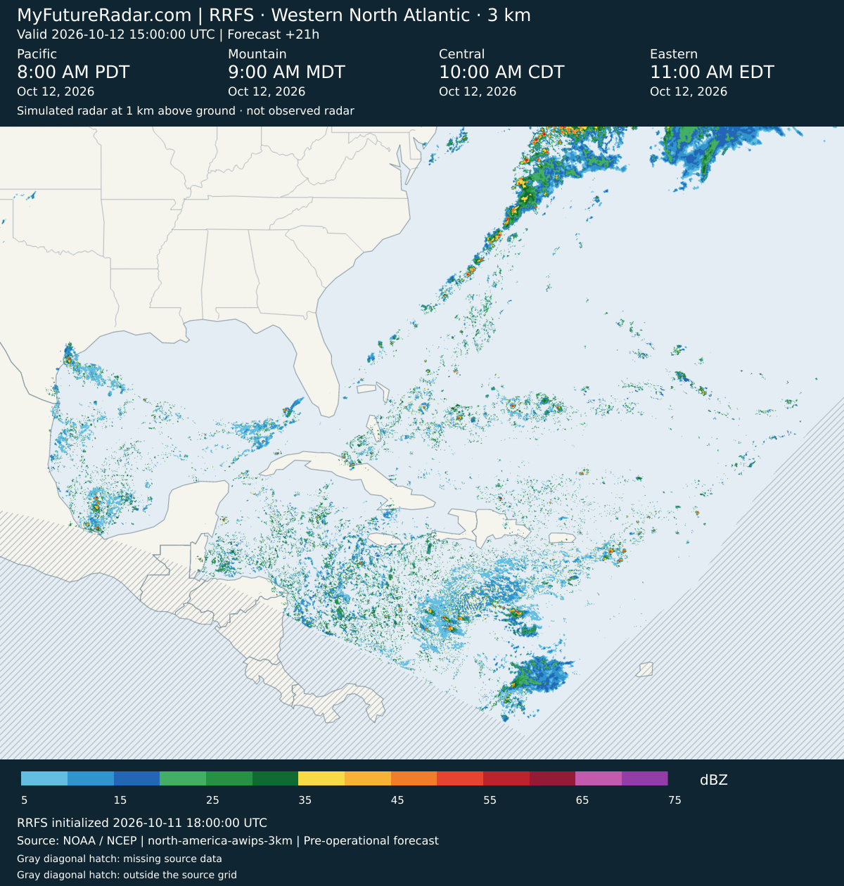
RRFS — Western North Atlantic (3 km; every 3–6 hours) — (+24 hours)
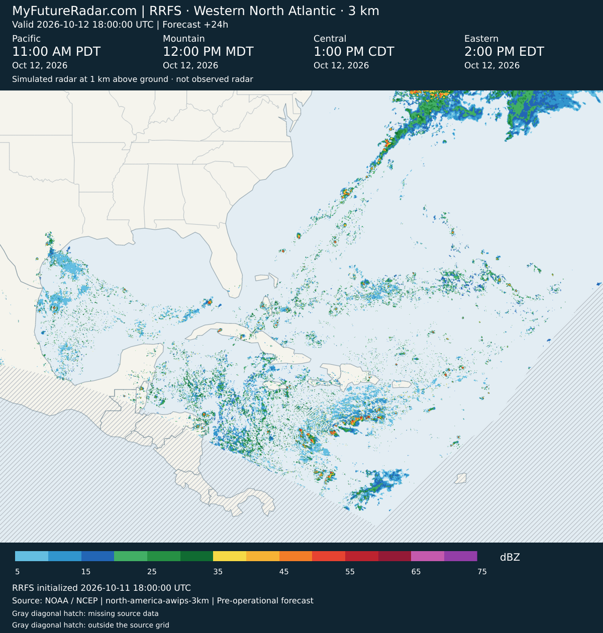
RRFS — Western North Atlantic (3 km; every 3–6 hours) — (+27 hours)
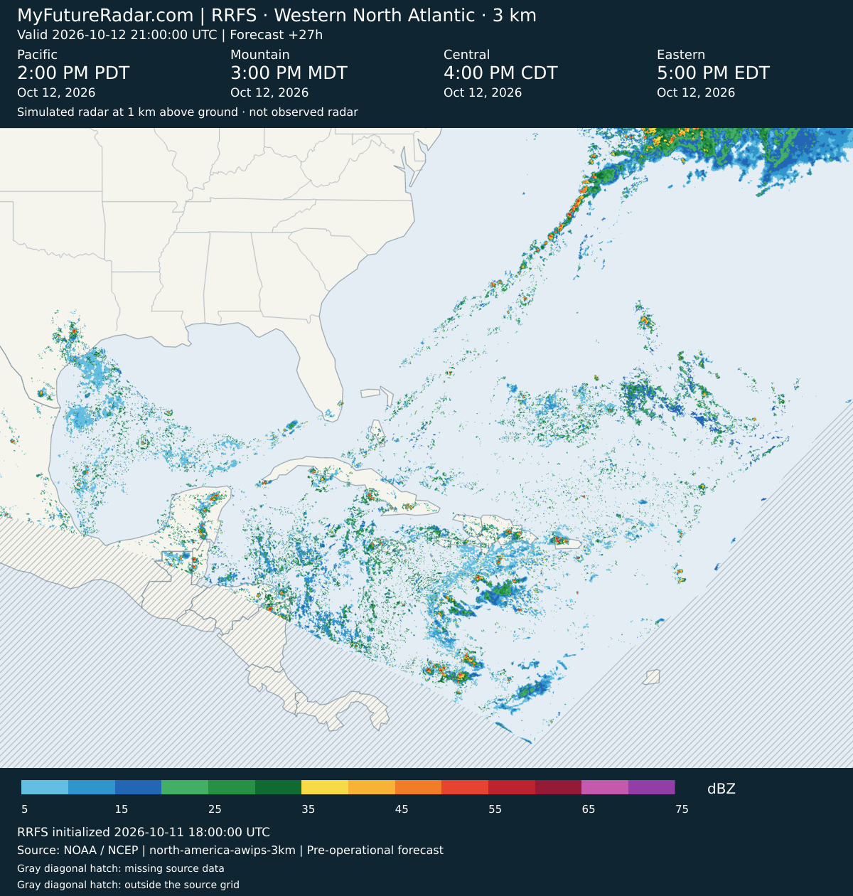
RRFS — Western North Atlantic (3 km; every 3–6 hours) — (+30 hours)
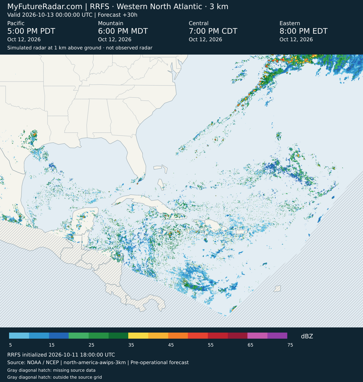
RRFS — Western North Atlantic (3 km; every 3–6 hours) — (+33 hours)
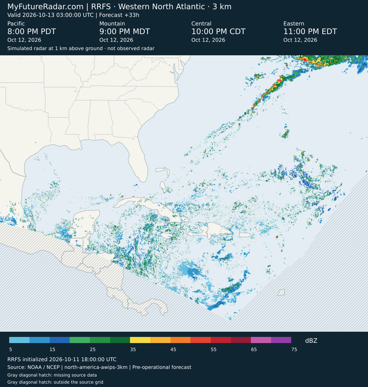
RRFS — Western North Atlantic (3 km; every 3–6 hours) — (+36 hours)
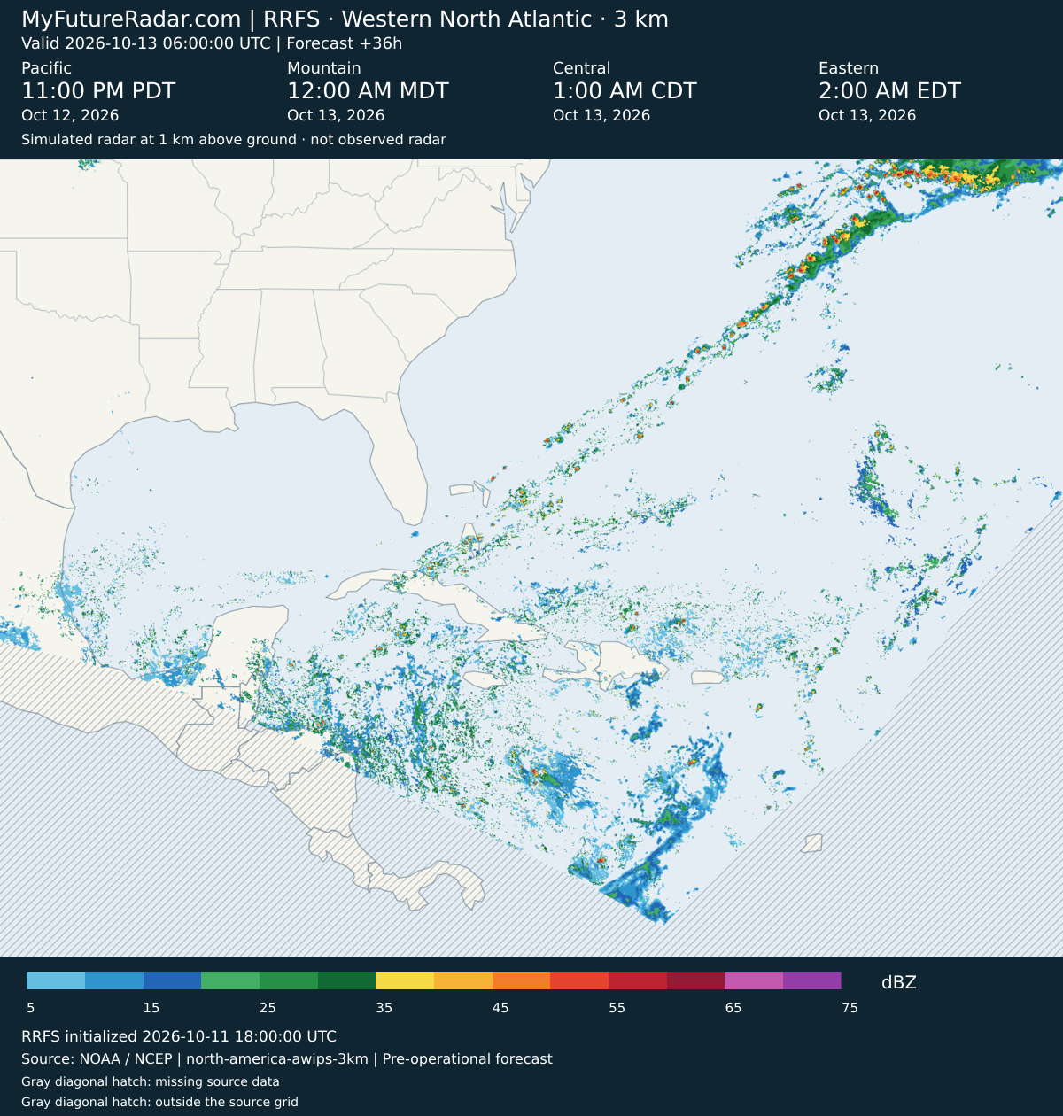
RRFS — Western North Atlantic (3 km; every 3–6 hours) — (+39 hours)
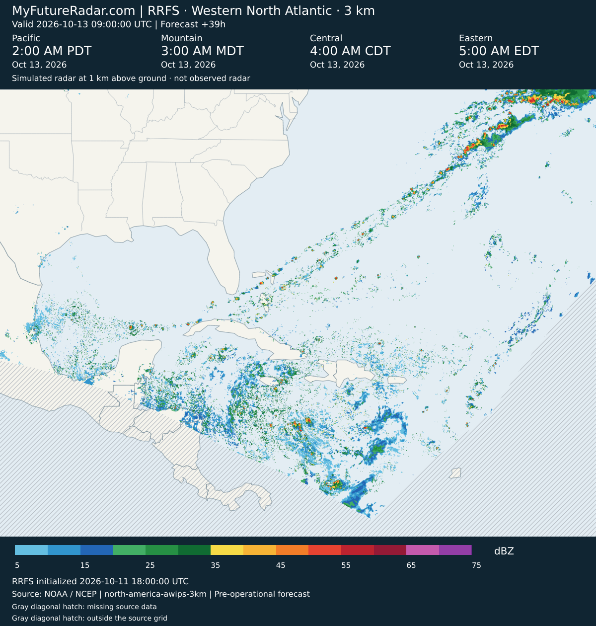
RRFS — Western North Atlantic (3 km; every 3–6 hours) — (+42 hours)
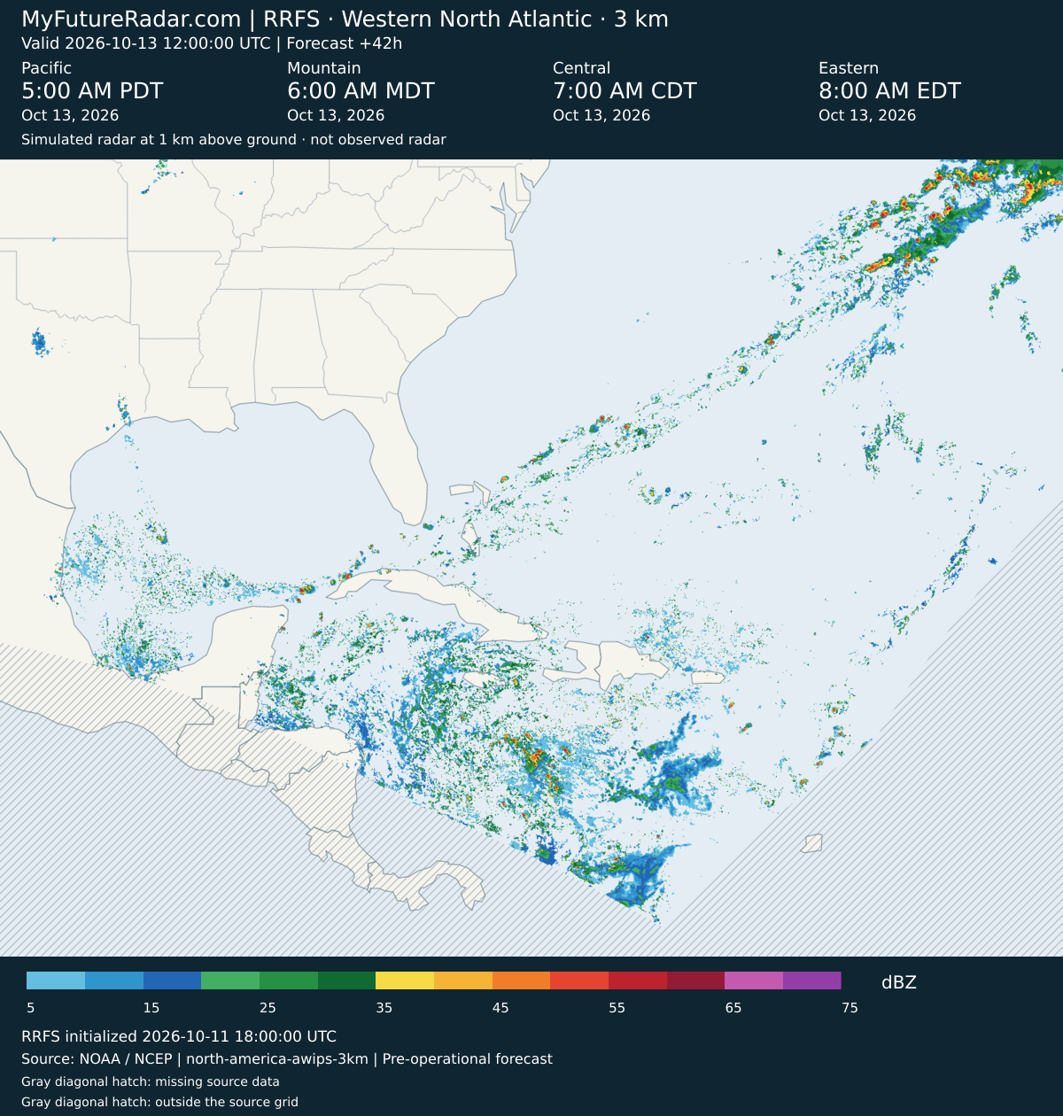
RRFS — Western North Atlantic (3 km; every 3–6 hours) — (+45 hours)
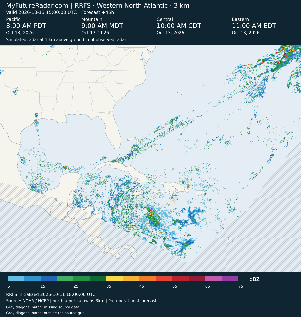
RRFS — Western North Atlantic (3 km; every 3–6 hours) — (+48 hours)
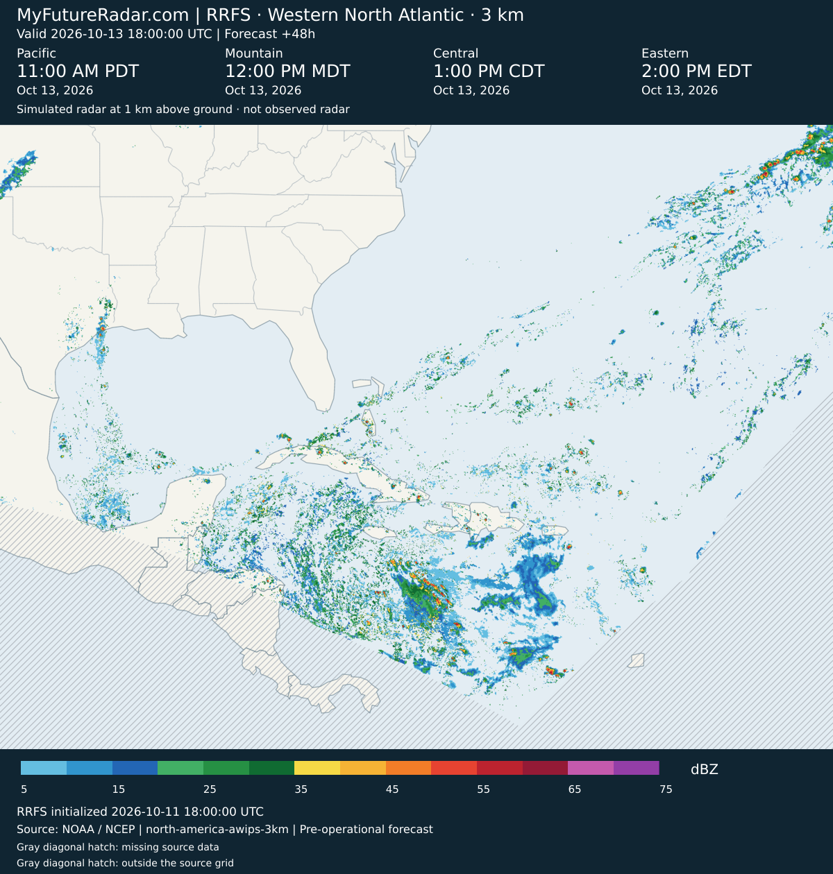
RRFS — Western North Atlantic (3 km; every 3–6 hours) — (+51 hours)
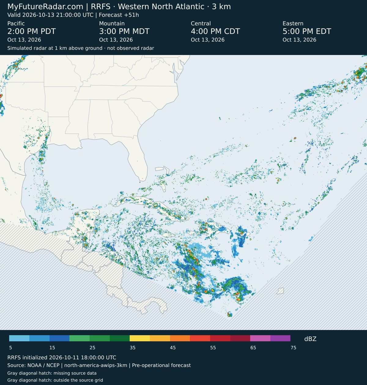
RRFS — Western North Atlantic (3 km; every 3–6 hours) — (+54 hours)
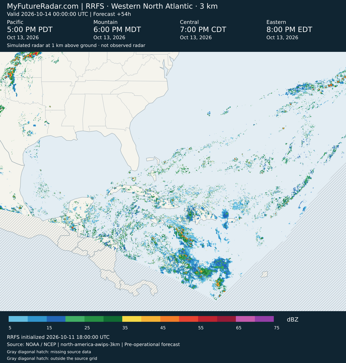
RRFS — Western North Atlantic (3 km; every 3–6 hours) — (+57 hours)
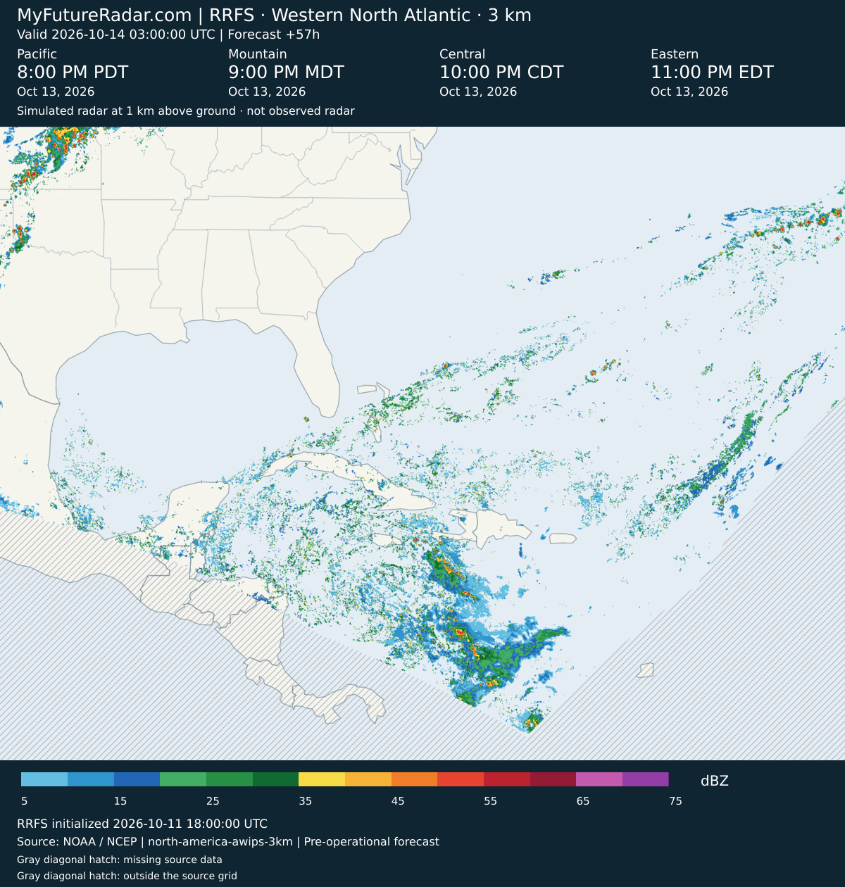
RRFS — Western North Atlantic (3 km; every 3–6 hours) — (+60 hours)
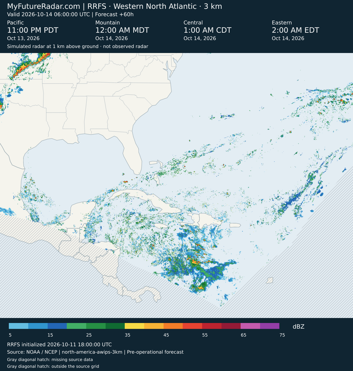
RRFS — Western North Atlantic (3 km; every 3–6 hours) — (+66 hours)
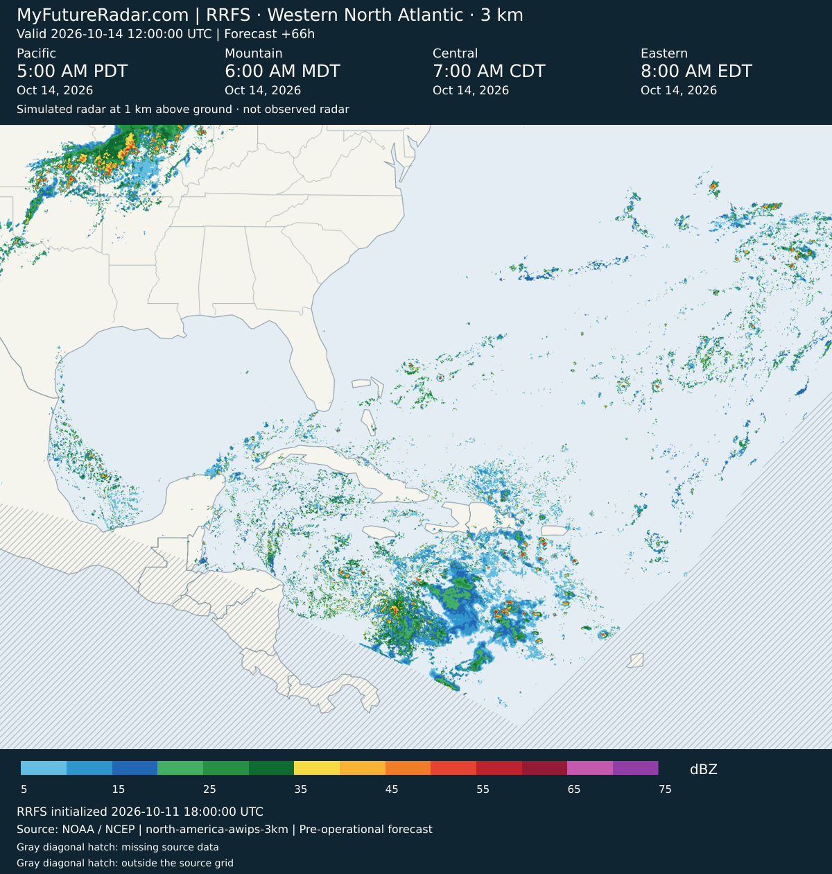
RRFS — Western North Atlantic (3 km; every 3–6 hours) — (+72 hours)
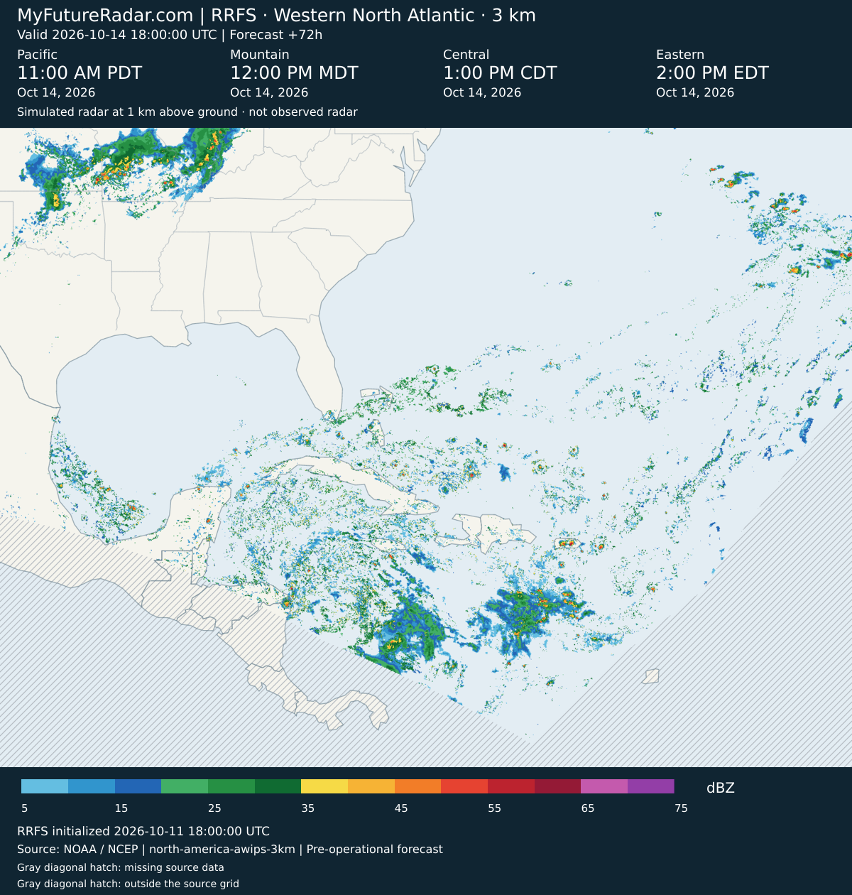
RRFS — Western North Atlantic (3 km; every 3–6 hours) — (+78 hours)
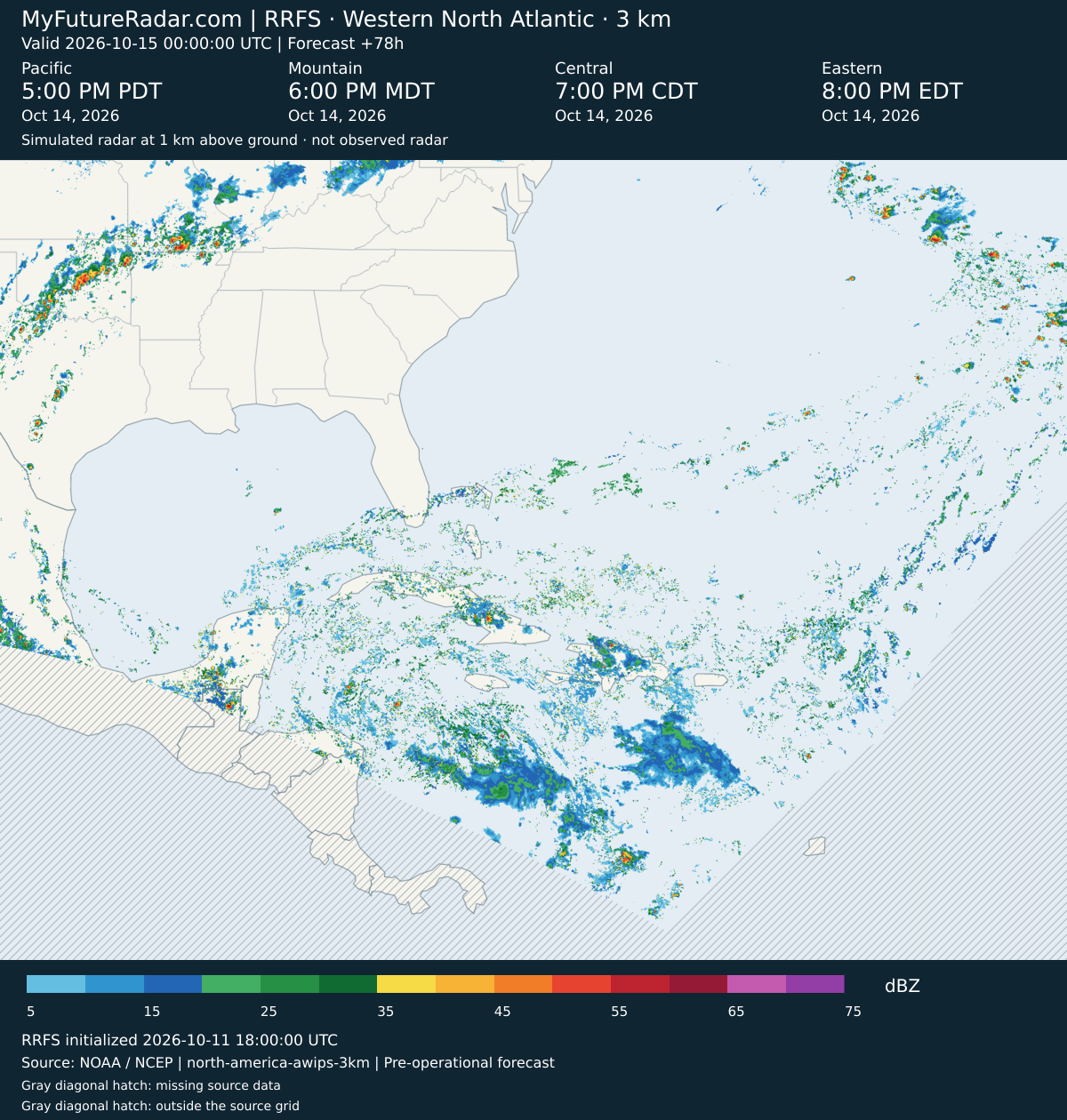
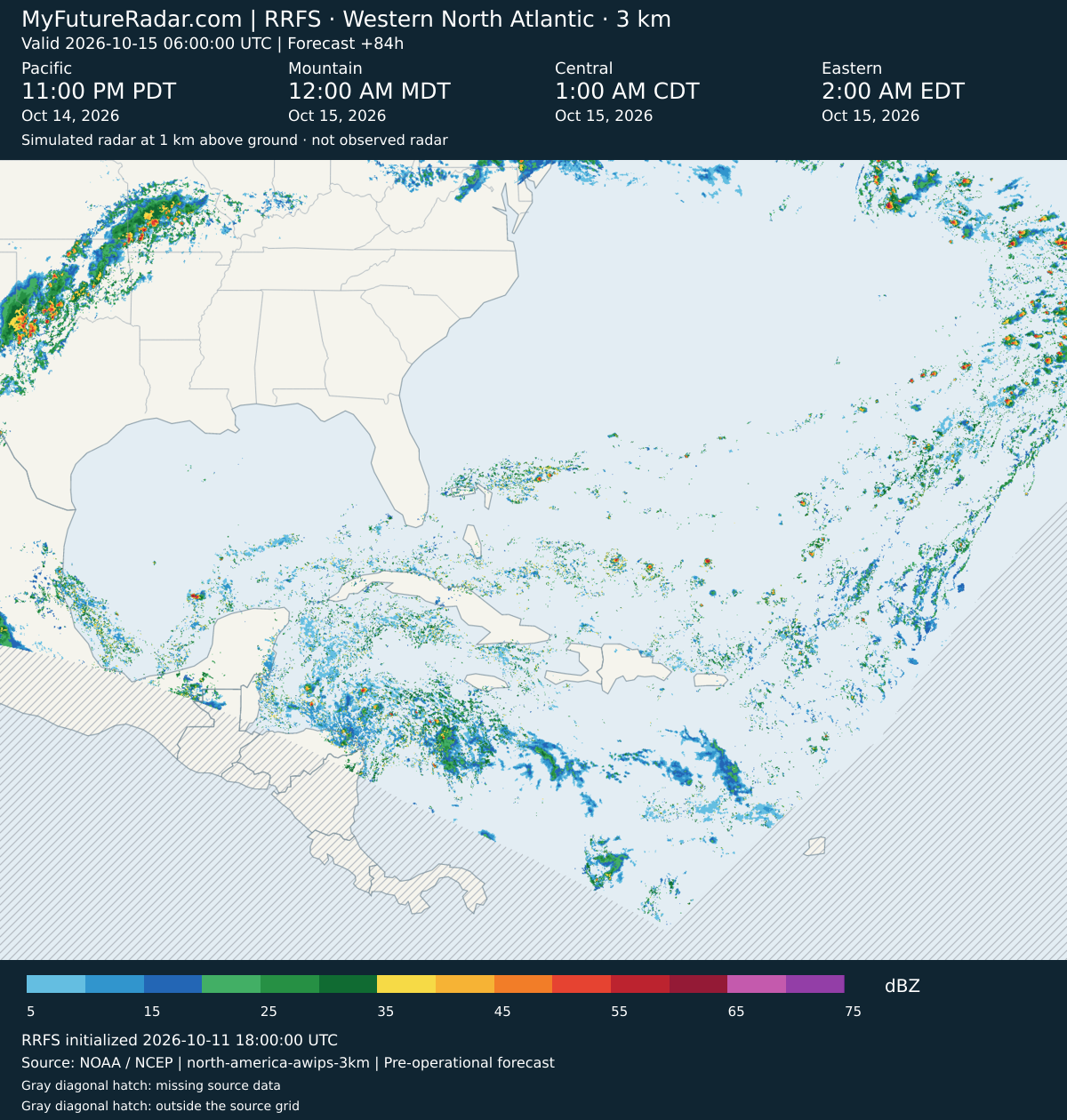
RRFS — Western North Atlantic (3 km; every 3–6 hours) — (+84 hours)
About My Future Radar
These are weather-model forecasts of simulated radar, not observed radar. HRRR provides an hourly short-range forecast; RRFS provides the extended forecast. The initialization and valid time identify the forecast shown. The loop shows Pacific, Mountain, Central and Eastern time, including daylight saving time and the date in each zone. Other page times use your device’s timezone.
You might also be interested in hurricane, typhoon and cyclone tracking on Cyclocane.